
Zavrzelno – Rombon
Getting to the Starting Point:
From the center of Bovec, follow the road uphill past the church in the direction of Kaninska Vas. Continue straight at the first junction, where the left road leads down to Plužna. Shortly after, you’ll reach another intersection—take the right road signposted for Rombon. Drive until the road crosses a stream; here, you’ll find a small parking area near trail signs and a natural spring.
Trail Description:
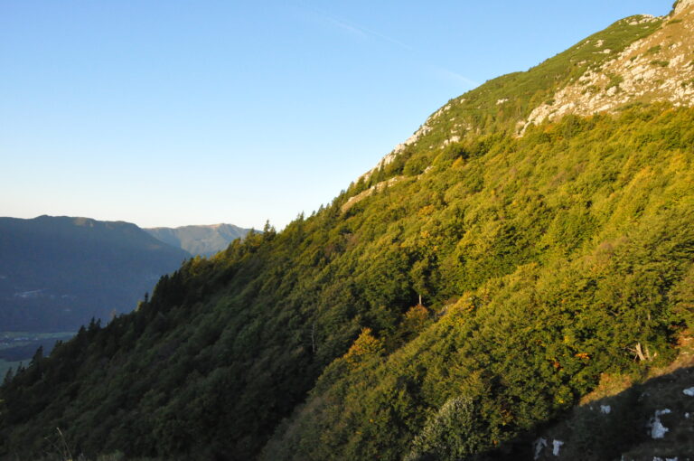
Begin your hike at the spring, where the trail markers guide you onto a footpath (not the dirt road). The path initially ascends through sparse woodland before transitioning into a denser forest after about 15 minutes. The moderate climb continues, crossing remnants of old military mule tracks. After roughly 1.5 hours, the forest clears, and the trail emerges onto grassy slopes leading to Planina Goričica, where a hunting cabin is located.
From here, enjoy the views of the peaks to the south of the Bovec Basin. Follow the trail to the right, which leads to a junction after a few minutes. Take the lower (right) path toward Rombon (the left trail leads to Črnelska Špica). This section passes the ruins of an old military hospital; a memorial plaque is located just a few meters off the marked path.
The trail turns left here, crossing a final forested section before opening up to reveal numerous wartime tunnels on your right (a cross can be seen on the opposite side). Continue uphill on the worn mule track, passing a series of war relics. The path eventually levels out, offering your first clear view of Rombon ahead.
Follow the trail straight (a short detour to the right leads to Čukla in 3 minutes). The route climbs gradually before reaching the base of Rombon’s rocky cliffs. Here, the trail veers left and ascends steep scree slopes at the foot of the cliffs. This demanding section eventually turns sharply right into a pronounced gully. Be cautious on this steep terrain to avoid dislodging rocks, which can pose serious danger to hikers below. (In early summer, patches of snow may still linger here.)
Higher up, the trail reaches a ridge where it intersects with the route from Kluže Fort. Turn sharply left and ascend a short but steep rocky step (about 5 m) using natural handholds. This section requires extra caution, especially during descent.
Beyond this point, the trail becomes less steep, winding up the final slopes of Rombon. Follow the increasingly scenic path to the summit, where you’ll be rewarded with panoramic views of the Julian Alps.
Due to the numerous wartime tunnels along the route, carrying a flashlight or headlamp is recommended.
Key Waypoints:
- Starting Point – Planina Goričica: ~1:45 hours
- Planina Goričica – Čukla: ~45 minutes
- Čukla – Rombon: ~2:00 hours